Providing Data
This topic describes how to bind the Geo Point Map dashboard item to data using the Dashboard Designer.
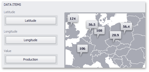
The image below shows a sample Geo Point Map dashboard item that is bound to data.
Note that the Geo Point Map provides two data item groups for data binding: DATA ITEMS and TOOLTIP DATA ITEMS. Tables below list the available data sections.
DATA ITEMS
| Section | Description |
|---|---|
| Latitude | Accepts a dimension used to provide geographic latitude. |
| Longitude | Accepts a dimension used to provide geographic longitude. |
| Value | Accepts values related to geographic points. These values are displayed within map callouts. |
TOOLTIP DATA ITEMS
| Section | Description |
|---|---|
| Dimensions | Accepts dimensions allowing you to add supplementary content to the tooltips. |
| Measures | Accepts measures allowing you to add summaries to the tooltips. |